Jump to content

Bert Orange

Legacy Members
  • Posts

    1400
  • Joined

  • Last visited

Everything posted by Bert Orange

  1. It’s started the turn. Last 15 mins clearly showing a shift in its trajectory.
  2. Laura tracking the southern most portion of the cone (slightly below OFCL). Interesting. Could impact where it makes landfall. Hasn’t started to turn yet. Exactly when it does could determine if Beaumont is in play within the cone.
  3. GFS fucking nailed it
  4. Just visual plus official track. Probably nothing. Could be reading it wrong. Probably am.
  5. Slight wobble west. Probably nothing. But it happened.
  6. That’s model convergence. HOUSTON can’t let guard down, but we can breathe now.
  7. Frankie whiffed on Hurricane Marco.
  8. That looks like a decent northern wobble. Am I seeing that wrong?
  9. Idk where San Louis is but I'm pretty sure Houston is fine if it hits there. Mizzurah
  10. It’s actually directly on the TX/LA border. The higher winds to right of center are what are depicted.
  11. Well, it moved west. A mm.
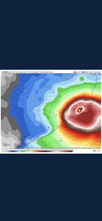
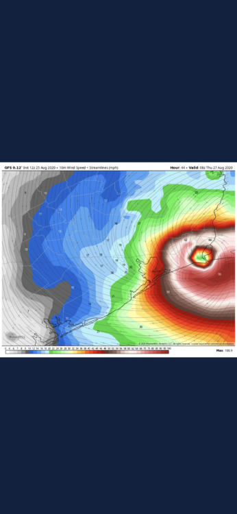
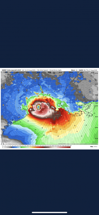
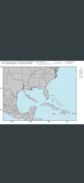
  12. Almost guaranteed the cone shifts westward.
  13. This is actually well thought out. Thanks for this.
  14. 100 mph winds can induce a lot of pucker
  15. This is fucking worst case scenario.
  16. I was thinking this too. Fucking Ike part deux
  17. Minor winds at my house. 100mph gusts near yours. It’s crazy.
  18. And most of that is interpolated 6 hours forward. The next real set of models is the 00z (7pm cdt)
  19. 6am cst 6am cst Correct, but the global hurricane models initialized at noon tell a very different story. Not saying any of this means shit right now.
  20. Just to be clear, this was six hours ago. New models are up.
×
×
  • Create New...